“S-100 is indeed a great step forward. However, it does not promise any new chart data in the areas where leisure boaters frequent”, says the Royal Institute of Navigation (RIN) Small Craft Group chairman Paul Bryans.

retrofits must also
be S-100 compatible. Credit: UK Hydrographic Office
S-100 “is already the foundation for the next generation of navigation systems”, Emma Wise, director of cartography at Teledyne Maritime, has explained.
This framework for data standards has been developed by the International Hydrographic Organization (IHO) – an intergovernmental organisation that works to ensure all the world’s seas, oceans and navigable waters are surveyed and charted.
Wise told the RIN Small Craft Navigation in 2026 and beyond event: “Currently, many hydrographic organisations around the world are now changing their charting schemes to grids.”
Although there is no ‘universal’ gridding system – which refers to the scheming of charts, often unseen by mariners and small craft users – the worldwide move to grids should mean greater alignment as S-100 data becomes available.
Wise said S-100 will have a commercial-sector focus – it is primarily developed for commercial shipping and SOLAS – however small boat sailors can expect a benefit rollout of S-100 product groups offering ‘richer situational awareness; safer and more predictable nearshore operations; and better decision-making tools’.
The UK Hydrographic Office told PBO the S-100 framework extends across multiple systems, and users and organisations expected to benefit include ports, defence, hydrographic offices and marine users.
‘Layers of information’
Like Google maps shows users multiple layers from terrain, to traffic and local amenities, Wise said S-100 brings to life “layers of information like Lego.”
‘Premium’ versions will include high-resolution bathymetry, surface currents and navigational warnings.
She added: “It provides also a unique opportunity for autonomous and uncrewed vessel navigation.”
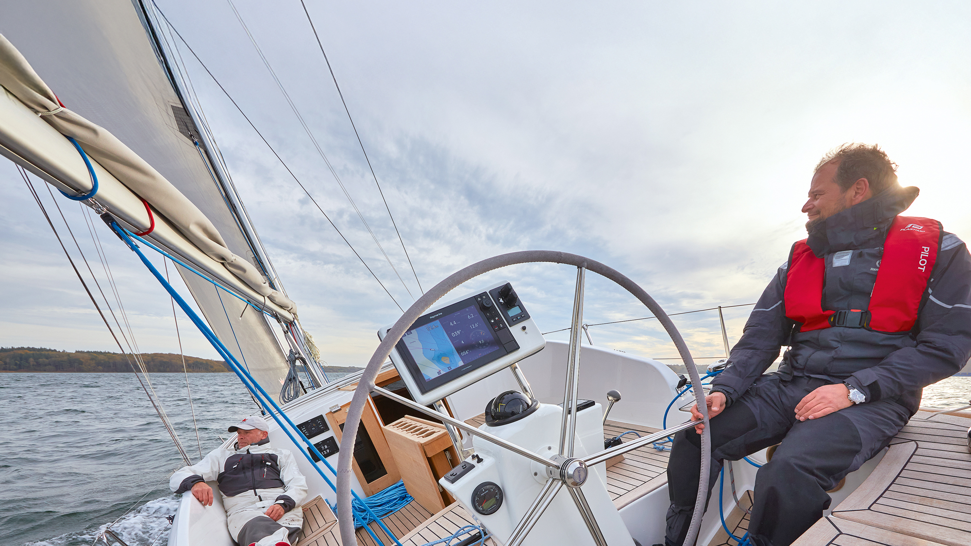
From 2027, new chart plotters and multifunction displays (MFDs) must adapt to S-100, and will need more computer power for multi-layer renderings.
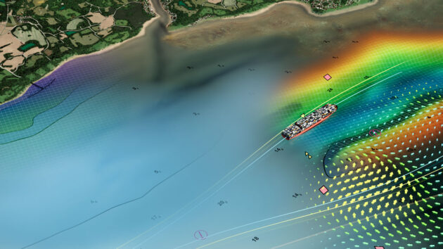
The new S-100 framework aims to provide a universal data standard to enrich the next generation of products for hydrographic, maritime shipping and geographic information system communities. Credit: UK Hydrographic Office
Missing chart data
Paul Bryans, chairman of the RIN Small Craft Group, said: “S-100 is indeed a great step forward.
“However, it does not promise any new chart data in the areas where leisure boaters frequent.
“That was highlighted in the Pleasure Vessel Navigation Systems Working Group (PVNSWG) report ‘gap analysis’ and remains our main concern.
“S-100 is aimed at the 3,000GT-plus shipping market but there will be spin-off benefits for other user groups, like improved tidal data presentation.
“However, proposed new chart standards for vessels below that size should allow the ‘leisure’ chart publishers to continue to provide enhanced solutions for the small craft market.”
In the latest Electronic Navigation Systems – Guidance for safe use on leisure vessels free booklet, under a section called ‘Shortfalls of electronic navigational charts (ENCs) for leisure use, it states:
“Official ENCs, which are displayed on electronic chart display and information systems (ECDIS) and small vessel – electronic chart systems (UK MCA performance standard) (SV-ECS), were designed primarily for the shipping sector (greater than 500GT).
“Features significant to smaller vessels used to be depicted on paper charts, including features that had been shown on older withdrawn charts, but many of these were omitted when ENCs were first created.
“With a focus on the needs of larger vessels, these omissions helped to reduce screen clutter.
“New surveys commissioned by hydrographic offices for ENCs also tend to focus primarily on commercial shipping routes, commercial ports and deeper waters.
“Few new surveys are commissioned for shallower inshore waters used only by leisure vessels.
“Consequently, ENCs currently do not display all the data needed by less than 24m vessels, which frequently navigate in areas inaccessible to vessels greater than 500GT.
“Over the years, this gap has been filled by the leisure chart providers in one form or another.
“ENCs are purchased on subscription for individual chart cells and are very expensive as there is only one pricing plan for all vessels.”
Get the most out of your chartplotter with these setup tips
How often do you stop and really sit down with your chartplotter? Navigators are necessarily tunnel visioned once under way:…
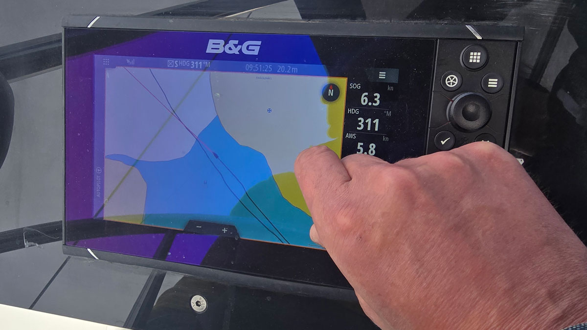
A beginner’s guide to the chartplotter
Whether you’re new to boating or looking to enhance your navigation with a phone, tablet or MFD, Ali Wood runs…
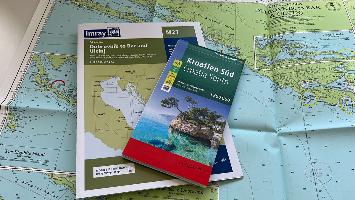
Plan to secure future of nautical publisher Imray paper charts
Good news for Imray’s paper charts: the nautical publisher and freytag & berndt aim to “ensure the continued availability” of…
Want to read more articles like ‘What is S-100 and how will it affect the future of electronic charts’?

A subscription to Practical Boat Owner magazine costs around 40% less than the cover price.
Print and digital editions are available through Magazines Direct – where you can also find the latest deals.
PBO is packed with information to help you get the most from boat ownership – whether sail or power.
-
-
-
- Take your DIY skills to the next level with trusted advice on boat maintenance and repairs
- Impartial, in-depth gear reviews
- Practical cruising tips for making the most of your time afloat
-
-
Follow us on Facebook, Instagram, TikTok and Twitter
Leave a Reply